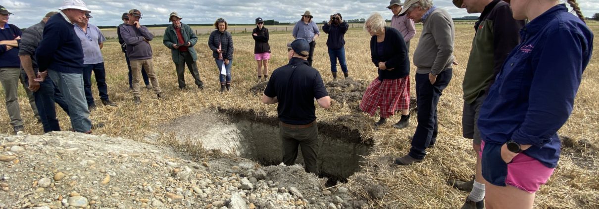
Digging Deep-Radiometric Soil Mapping Field Day
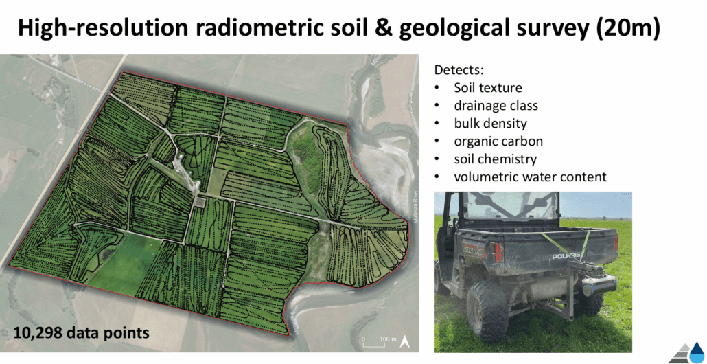
The mapping process to get accurate soil & geological data at paddock scale
We had a great turnout for our Radiometric Soil Mapping Field Day on Friday, 14th March, with 15 people attending to hear from Clint Rissman of Land and Water Science (LWS). Clint presented findings from the radiometric soil survey he conducted late last year across 5,000 hectares of land owned by four ESAI members.
Radiometric soil mapping is a fascinating technique that uses a quad bike-mounted sensor—essentially a Geiger counter—to detect gamma rays emitted from naturally decaying elements like Thorium, Caesium, and Uranium in the soil. Each soil and rock type gives off a unique signature, allowing for incredibly detailed mapping—far more precise than the standard S-maps used to guide many of New Zealand’s current environmental regulations.
A key part of the field day was “ground truthing” the mapping results. Several large soil pits were dug throughout the mapped area, allowing Clint to compare the sensor data with real-life soil profiles, giving attendees a hands-on look at what’s beneath their feet.
This kind of mapping is proving invaluable for farmers and catchment groups across New Zealand. It provides deeper insights into soil properties, how soil pans affect water and nutrient movement, and how different soil types impact nitrate removal. Another major benefit is for irrigation efficiency—having detailed soil and geology data at the paddock level means farmers can fine-tune water application using high-tech irrigation systems.
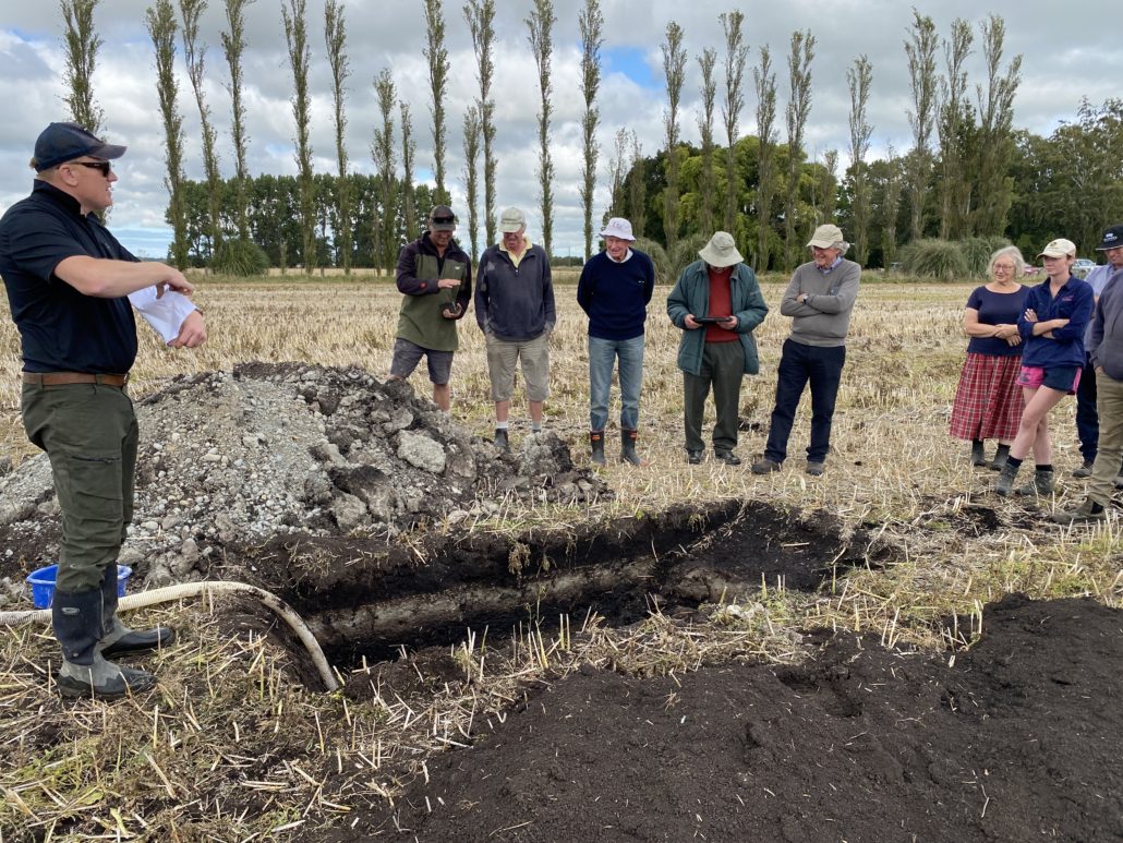
Clint talking through this example of a peat soil and its impact on water and nutrient movement.
Farmers at the field day asked plenty of questions, and the soil pits provided a rare opportunity to physically see the differences in soil layers up to depths of around 2 metres.
The event wrapped up around 1 pm with a light lunch in the field, giving attendees time to chat with Clint and discuss how this technology could impact their farming practices.
The findings from this project raise important questions about managing nitrate and phosphate leaching in the Ellesmere area and what can be done to reduce the impact. ESAI hopes to address these issues through its current project, which focuses on mapping lowland streams and identifying potential wetland restoration sites to help remove nutrients.
If you’d like to learn more, get in touch with project manager David Hewson at David.tinaku@esai.co.nz or 021 241 3549.
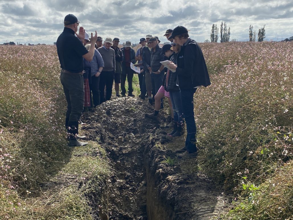
1 of the 6 pits visited during the field day. Between the radish rows at David Birkett’s property.
